|
We arrived off the Sassafras River in late afternoon and anchored well off the south shore a couple miles east of Betterton. The Sassafras is a wide river at its entrance, perhaps three miles across. Much of its south shore is fronted with fairly high rust colored bluffs of sand and clay and not too many houses. We set the anchor in front of a spit that closed off a large pond from the river. Much of the Cheseapeake's interest for cruising comes from the way it divides itself into smaller and ever smaller waterways. A single creek off a river off the Bay might have 20 coves to explore with your dinghy. Chris says the Chesapeake's many diminishing divisions are like fractals. We admired this pond off the Sassafras while birds sang and several times we heard a loon call. We also heard peepers, green frogs and tree frogs and on shore yellow iris bloomed so we are back in fresh water again.
| |
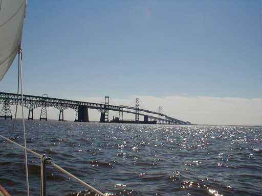
Visibility continued to improve as we steered for our first waypoint along the well marked (and busy) main shipping channel. By the time we got to the canal proper the sun was burning through. Now we had the tide behind us as we motored into the canal so we made the 20 miles up to Chesapeake City far faster than yesterday's run. We arrived before lunch to tie up at the free town dock so Chris could put in some office time. I went ashore for a bike ride on the fine flat terrain after we made a grocery run. This is a pretty time to visit. The town is considerably livelier than last fall when we stopped in here and peonies and azaleas and iris still add color to yards. The old mid 19th century houses for the canal workers (this town was established at the time of canal construction) have been fixed up and there are lots of interesting antiques, gift and art shops. Most of the houses are painted up and have new roofs and windows yet they retain a modest mein. They're mostly small and unadorned with gingerbread or fancy iron work. Many still have their sheet metal roofs and an occasional saggy roofline or other imperfection makes the town's downtown core feel less like a museum and more like a place people live in. Chesapeake City's working heritage is apparent in its residential architecture.
| |
|